Importing Field Data
In the past, surveyors used special bound notebooks for recording observations in the field. Thus, the task of turning all of those observations into feature coordinates was time consuming and laborious. Modern surveying instruments have on-board data recording capabilities; alternatively, a separate (wired or wireless) data collector minicomputer may be used. These modern devices make importing data from the field into a digital environment a much faster and simpler step in the survey process.
The map drafting software we use at Franklin Surveys has automated data import functionality. This means that we have pre-programmed a “code list” with the typical features that we encounter in the field. The software recognizes the codes and can automatically create representative points and features in the map. For example, where the code “MH” is used, the software creates a manhole symbol with the correct coordinates and assigns it to a layer of the map associated with utilities.
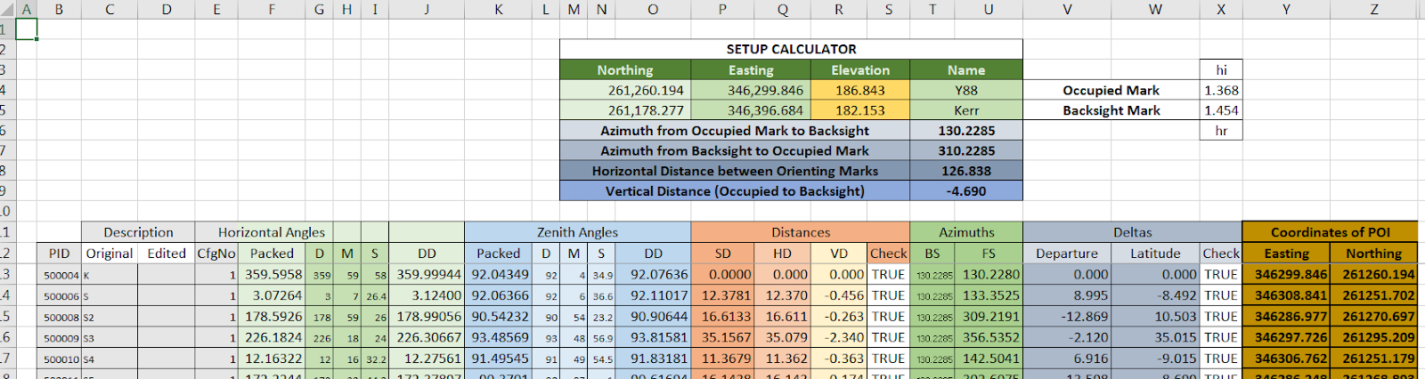
Of course, we are also prepared for the possibility that the automated software is not working or unavailable. In those instances, we are prepared to perform calculations manually, or better yet, using spreadsheet software such as Microsoft Excel. Below is a sample of one of our homemade survey data processing spreadsheets. The individual observations are rows in the table and the columns break down the attributes of the rows.